There is no single “best” trail for everyone. Choose by time, effort, route type, area and current status. Every figure on this page belongs to a specific route variant.
Technical baseExact variantNo mixing figures from different routes.
DifficultyOfficial ≠ family fitTechnique, effort and suitability are separate.
StatusCan changeOperational notices are dated.
From the hotelReal trailheadUse the real trailhead or parking point, not a generic town-centre distance.
!
Río Borosa · temporary opening checked 27/07/2026
Open as far as the hydroelectric power station. The Cerrada de Elías section remains closed and is bypassed via the forest track. The Junta asks for extra care on bridges and adult accompaniment for minors.
Check the official source again before setting out: this notice may change.
TRAIL LANDSCAPE
The landscape also explains the route.
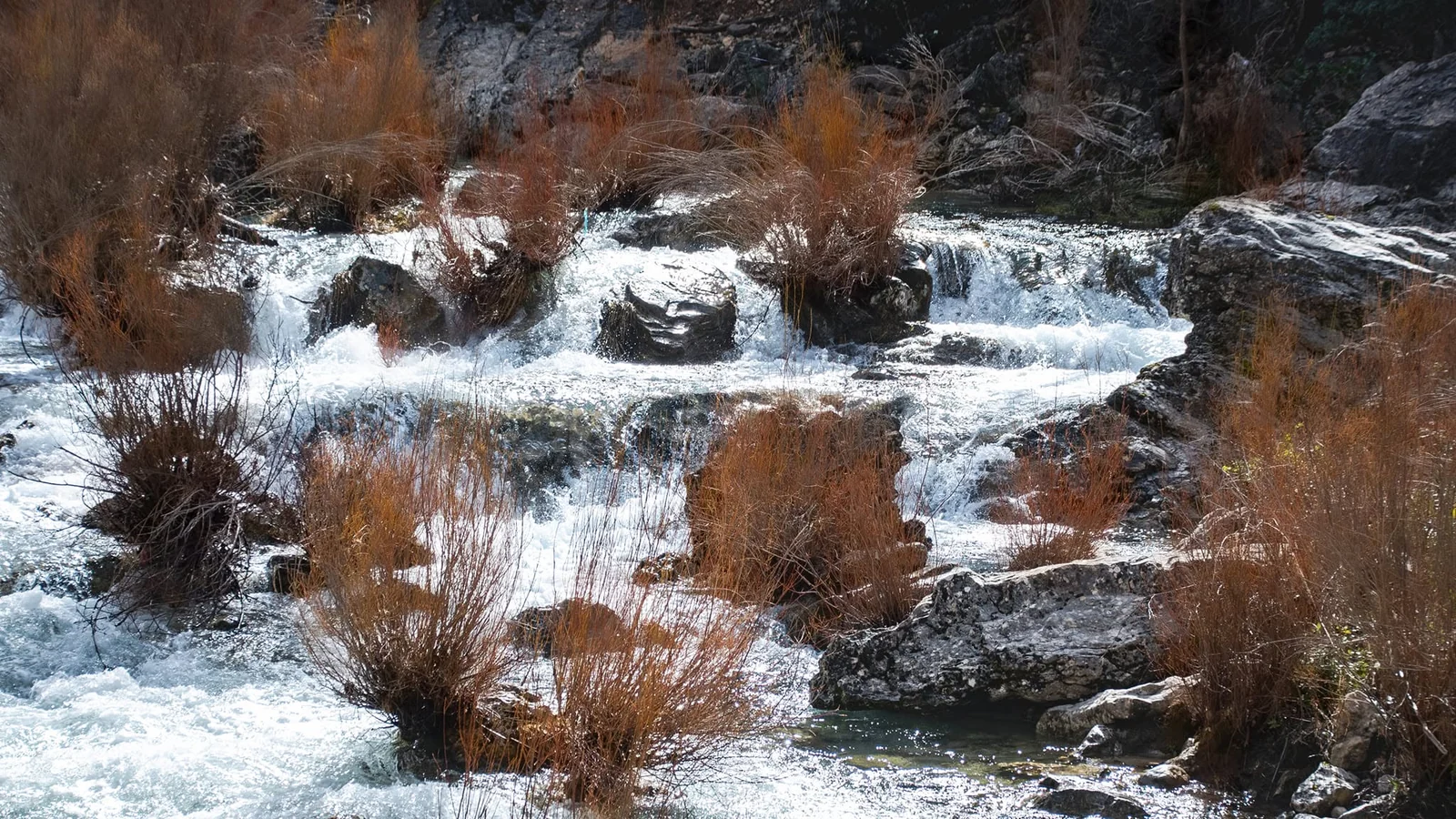
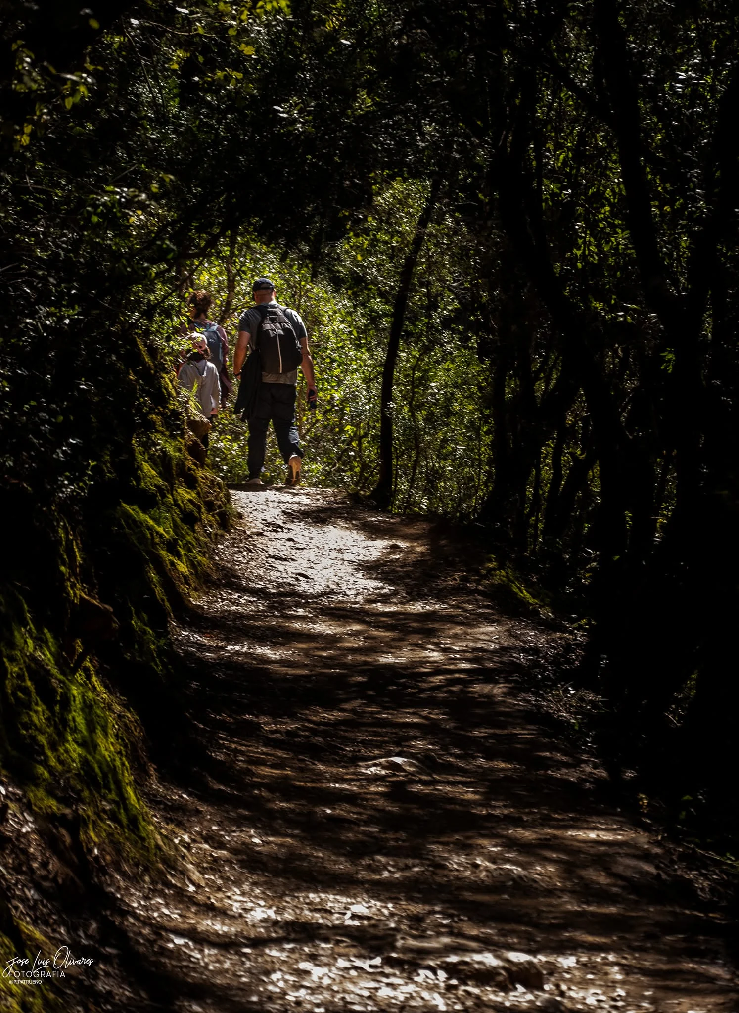
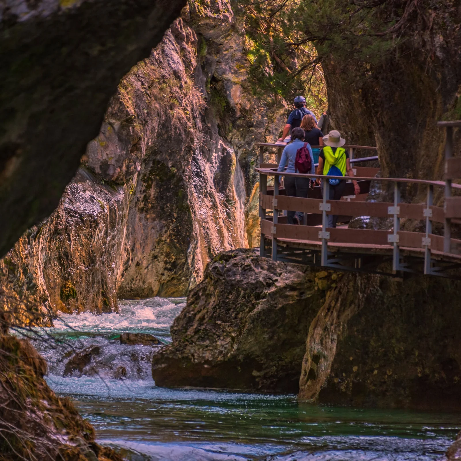
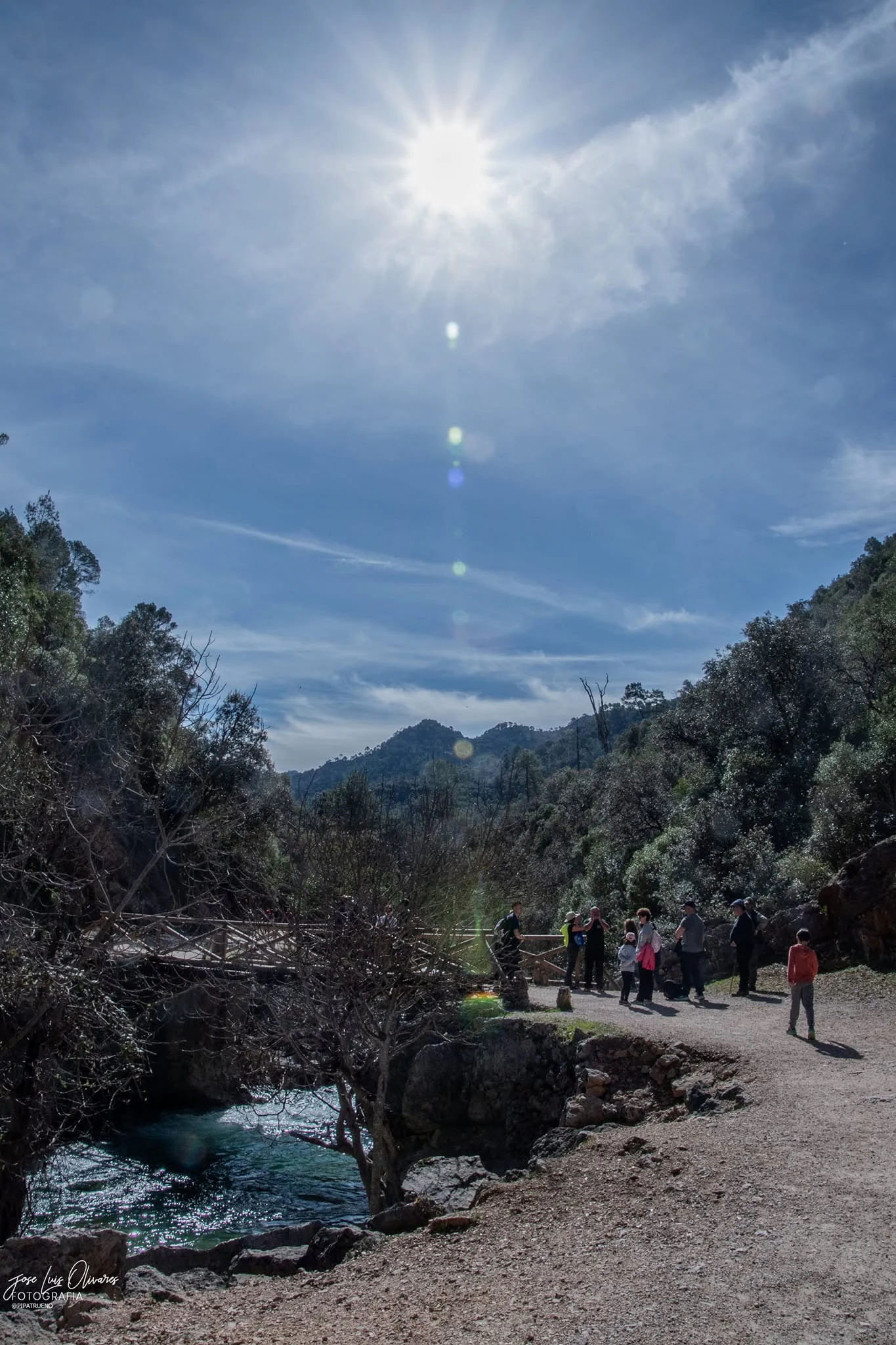
These photographs help visualise why Borosa, Cerrada de Elías and its walkways are such strong references within the Sierra. They are inspirational support, never a replacement for current operational alerts.
BOROSABorosa RiverWater, vegetation and one of the most recognisable river walks in the Sierra.CERRADA DE ELÍASCerrada de ElíasAn iconic stretch that still requires operational checks before you go.ROUTE FEELWalkways and crossingsUseful imagery to understand the character of the route.ROUTEBridges and crossingsThe route combines tracks, paths, bridges and riverside sections, which is why the exact variant matters.
Important: photography inspires, but live information rules. If there is a closure, diversion or restriction, that information takes priority over any image or article.
Author: José Luis Olivares.
Find your trail
Filter by the outing you can actually do.
The finder uses data for the route variant shown. Without JavaScript, every route remains visible and readable.
WATER · ACTIVE NOTICE
Río Borosa · to the hydroelectric power station
Medium
The official sheet for this variant states 7,259 m one way and 2 h 30 min. Current conditions require bypassing Cerrada de Elías via the forest track.
Distance7.259 km one wayTime2 h 30 minRouteLinearStatusOpen with notice
Almost flat according to the Junta, with 26 m difference between start and finish and abundant shade. Because it is linear, the official distance is one way.
Distance1.944 km one wayTime45 minRouteLinearShadeAbundant
Official difficulty, physical effort and family suitability are three different things.
The comarca trail guide uses technical data and MIDE to describe route demands. Our family layer adds terrain, shade, steps, heat, return leg and facilities.
MIDE
Four dimensions
Natural environment severity, navigation, movement difficulty and required effort. MIDE is useful only when it refers to the exact route variant, and should be read as technical information rather than a marketing badge.
Return
“1.9 km” may be only one way.
On linear trails, one-way official length must not become the total outing distance. This matters especially for families and day planning.
With children
Good candidates do not mean “suitable for everyone”.
Los Galdones stands out for low difficulty, almost level terrain and abundant shade. Utrero is short but officially medium difficulty. Río Borosa currently carries a specific notice about bridges and minors.
For families: we do not publish a minimum age or “pushchair suitable” label without specific evidence. A low official difficulty rating does not prove accessibility.
FROM HOTEL AL-ÁNDALUS PEAL
The useful distance ends at the real trailhead.
A distance to Cazorla town does not describe the drive to a trail deeper inside the Natural Park. For a day out from the hotel, use the exact parking area or trailhead and allow for mountain-road driving and the return journey.
TrailheadReal destination.ParkingPractical data.RoadDriving type.ReturnTotal day load.
Sources
A figure only enters when we know which route it belongs to.
Operational data is checked against Ventana del Visitante; the comarca hiking guide provides additional technical context for SL, PR, GR and RENPA networks.
ADR Sierra de Cazorla
Hiking Guide: network, technical data, MIDE and variants.